

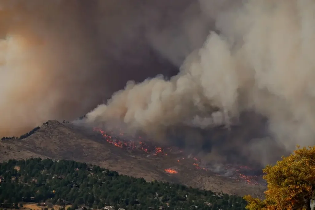
Montréal’s Mila and Natural Resources Canada have developed an AI model to map wildfire hazards faster than existing simulation tools.
The system estimates an area’s likelihood of burning, potential fire spread, and intensity. Mila says it runs between 800 and 3,400 times faster than the federal BurnP3+ simulator, depending on computing hardware.
Trained on fire simulation maps, the model can produce hazard estimates within hours instead of months.
Researchers emphasize that its outputs remain approximations. Still, faster mapping could help planners assess changing conditions as Canada faces increasingly severe wildfire risks, demonstrating a practical application of domestically developed artificial intelligence.
Want to know more? Check out the source code on BetaKit.